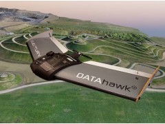
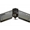
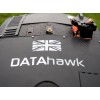
Inspired by survey professionals, the DATAhawk is a fully autonomous superior mapping drone from QuestUAV. Easy acquistion of accurate geodata for survey mapping and GIS professionals. Automatically convert your high-res data into geo-referenced 2D orthomosiacs, 3D models and point clouds giving fast and reliable results... every flight.
Rugged, Reliable, Rapidly Deployed
The QuestUAV DATAhawk design is inspired by survey professionals. A hand-launched, sub 2kg drone that is exceptionally easy to launch with para-recovery for safe operation in confined environments.
"It's a briliant piece of kit. We were so impressed with the stability of it in high winds and yet still achieving an quality of image similar to a full size QuestUAV" Chris, Tempra.


