

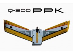


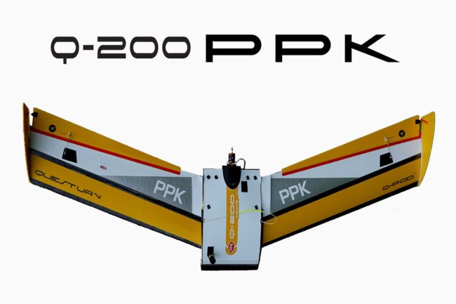
The QuestUAV Post-Processing Kinematic (PPK) drone combines high-resolution aerial photography with high-accuracy topographic data.
A dual band GPS/GLonASS receiver on board the PPK drone allows cm-level position referencing of orthomosaics and 3D models without the need on physical Ground Control Points (GCPs).