


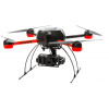


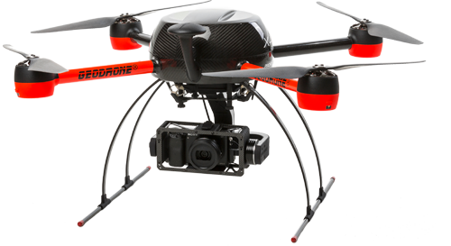
GeoDrone is designed especially for land survey, mapping and different forest and agriculture requirements. It is a quick and easy to use solution to visualize, measure and model different kind of targets.
GeoDrone is outstanding in its class. The flight weight with imaging capability is only 4 kilograms and it is able to map over 60 hectares during a single flight. When imaging with a 24 Mpx camera in 150 meters the ground sample distance size is 2.9 centimeters. GeoDrone can be equipped with a fixed nadir ortho gimbal or with a 2-axis gyro stabilized brushless gimbal and video link.
GeoDrone includes the VideoDrone Ground Station flight planning software. The application works on Windows computers and it is used to plan the area to be mapped. The actual flight is then carried out automatically. The computer is not included.