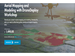


Construction, engineering and agriculture are just a few of the industries that have begun to use drones to collect mapping and modeling data. High-quality maps can be produced more quickly and cheaply than with traditional methods, and the demand for drone mapping services is growing rapidly. This workshop is designed to teach students how to use the latest drone mapping technology to collect, analyze and export high-quality mapping and modeling data for commercial use.