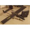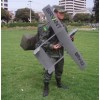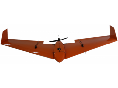
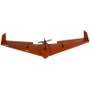


BRV-04C developed to be used in several scenarios focusing on the generation of high-resolution digital maps. This system may also be customized to send georeferenced, real-time images and videos to the control station, allowing for detailed monitoring of the operational scenario. Application: Precision agriculture, power line inspection, tactical monitoring of risk areas and natural disasters.