


• Detection of forest fires
• Support the aftermath of fires
• Survey of invasive plant species
• Collection of high resolution photographs
• Orthophotomaps
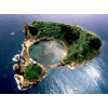
• Land planning
• Topography and Geographical Information Systems (GIS)
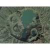
• Observation and collection of vulcanological data
• Meteorological data collection
• Detection of pollution on land and sea
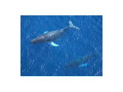
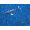
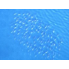
• Detection of fish shoals
• Animal life monitoring and tracking
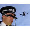
• Operations against illegal hunting and fishing
• Sea surface temperature mapping
• Detection of spillage at sea and possible sources
• Ice thickness measurement